UWB
Ultra-wideband measures the distance between nearby devices.
A realtime spatial intelligence platform for first responders and military special forces units
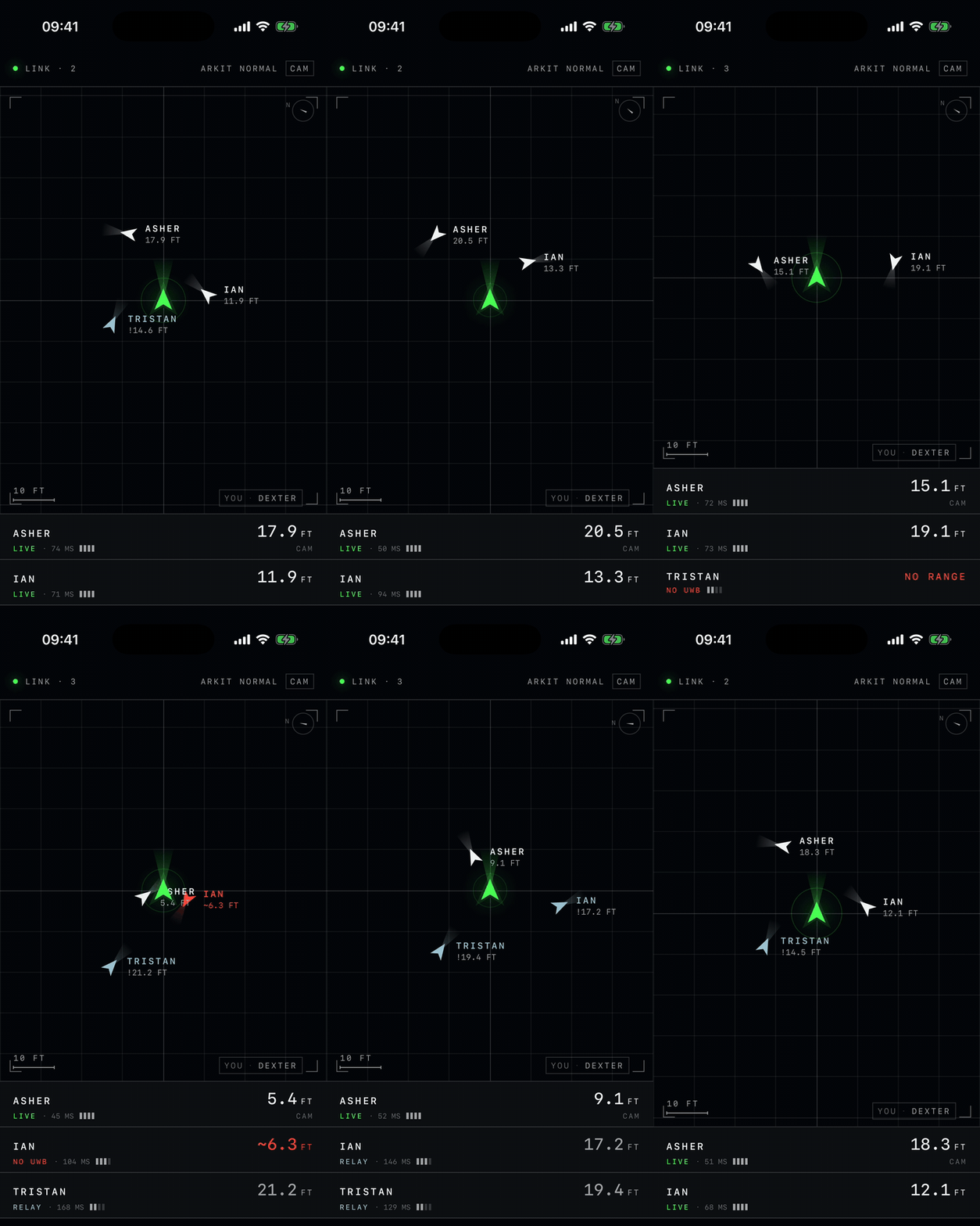
Everyone displayed on one live map. Direction and distance update in real time as they move through walls, around corners, and between floors. Novel, centimeter precision.
Ultra-wideband measures the distance between nearby devices.
Visual-inertial odometry tracks how devices move through space in order to infer their orientation.
One digital environment. One shared view. Each unit contributes to the same mesh, so command can visualize the space as its discovered.
A compact prototype combining UWB, a camera, LiDAR, an IMU, and an onboard display.
A shared view of your team and their missions. Review unit movements, inspect reconstructed spaces, and browse previous sessions.